



Buy a plan
Pick a destination, data allowance and validity period.





Compare Kyrgyzstan eSIM plans for Bishkek and the Ala-Archa canyon, for the Issyk-Kul shore and Karakol, for the yurt pastures at Song-Kul and for Osh in the south. Distances mislead here, so set the validity by the hours the mountain roads take, then read the territory and tethering rules the offer names for itself.
Altitude shapes a Kyrgyzstan itinerary. Song-Kul lies at about 3,016 metres, and one approach crosses Kalmak-Ashuu at 3,446 metres. Summer is the usual season for road access, high trekking and yurt stays, but snow, weather and the chosen pass determine actual access. Check current road conditions and your camp’s opening dates instead of treating a calendar range as a guarantee. Manas International is 25–30 kilometres from central Bishkek; the lake and mountain stops beyond it involve long drives.
Refund policy
Get a full refund within 7 days if no data is used, even after installation. If it doesn't work and we can't fix it, we refund you.
Activation window
Check the package details for the first-use deadline and validity rules.
Secure checkout
Cards, Apple Pay & Google Pay — encrypted by Paysera.
Customer support
Contact support before or during your trip if you need help.
Add the Kyrgyzstan profile while you are still on a Wi-Fi connection you trust, and keep the purchase confirmation somewhere other than the handset in your pocket. Each offer spells out when to select it as the mobile data line, so follow that and not what a previous trip taught you. Flights land at Manas International, 25 to 30 kilometres from central Bishkek and 35 to 50 minutes by taxi or transfer; that drive is the moment to pull down maps, the guesthouse address and a driver's number. Find the home line's mobile data switch before the flight as well, because nobody wants to hunt for it halfway along the Bishkek to Osh highway.
Pick a destination, data allowance and validity period.
Scan the QR or auto-install in the app — no physical SIM.
Data activates on first connection at your destination.
Pick the profile closest to your trip. The estimate assumes normal use — maps, messaging, photos, a short call home.
As a rule of thumb, a 3–4 day city break runs on about 1–3 GB, a one-week trip on 3–5 GB, a two-week multi-country tour on 8–12 GB, and working on the road takes about 1 GB a day, so 15 GB or more for two weeks.
In total, a 5 GB data allowance covers roughly 1,700 shared photos, 83 hours of social media and browsing, 15 hours of video calls, 63 hours of music streaming, or about 1000 hours of maps and navigation. Messaging apps barely use data.
Bishkek · City guide
Bishkek is the flat, leafy base every other leg is measured from: Ala-Too Square at the centre, Osh Bazaar for the shopping, Panfilov Park and a run of Soviet-era museums along the boulevards. Ala-Archa National Park, canyon and glaciers together, is the standard day out about 40 kilometres south. That park is glacier and canyon terrain with minimal built infrastructure, so the day's map is best pulled down while you are still standing on a city street.
Bishkek eSIM — set up before you fly →Issyk-Kul and Karakol · City guide
Issyk-Kul stands in for the coast a landlocked country does not have. It is the world's second-largest alpine lake by volume, with genuine beach towns on the north shore at Cholpon-Ata, sandy and pebble shoreline, calm swimmable water and a season of roughly June to September; Cholpon-Ata also keeps a petroglyph field. Karakol, 141 kilometres on at the eastern end, holds the nail-free wooden Dungan Mosque, the wooden Holy Trinity Cathedral and a Sunday animal bazaar. Its trailheads run into remote valleys where a downloaded route earns its keep.
Issyk-Kul and Karakol eSIM — set up before you fly →Song-Kul · City guide
Song-Kul lies at about 3,016 metres on open nomadic pastureland, reached by way of Kochkor, itself some three hours from Bishkek, and then three to four hours by 4x4 over the Kalmak-Ashuu pass at 3,446 metres, a full day in each direction. No permanent settlements stand at the lake, only seasonal yurt camps, and the water is cold rather than swimmable; even in July the air holds to single digits and the mid-teens. Save the route and the camp's location in the valley below.
Song-Kul eSIM — set up before you fly →Osh · City guide
Osh is the second city and the southern gateway, set in the Fergana Valley beneath Sulaiman-Too, the 175-metre sacred outcrop on the UNESCO list that stands over the streets. Jayma Bazaar, among the oldest and largest markets in Central Asia, fills whatever the climb leaves of the day. Osh International is 9 to 10 kilometres from the centre, 20 to 25 minutes by taxi or minibus, the shortest airport run in the country and one reason many people fly here rather than drive the highway.
Osh eSIM — set up before you fly →Why Horizon
Most trips take one of two shapes. The short one is a loop: Bishkek, the Issyk-Kul shore around Cholpon-Ata at about 216 kilometres and three hours, then Karakol, 141 kilometres further along the water. The long one adds Song-Kul over the Kalmak-Ashuu pass and Osh in the Fergana Valley, and each of those costs a day of driving in each direction. Set the validity against that difference rather than against the map, and check that Kyrgyzstan is named on the plan's own territory list instead of inferred from a Central Asia heading. Signal here answers to altitude and valley walls before it answers to any plan: pastureland above 3,000 metres, the canyon floor at Ala-Archa and the emptier stretches of the Bishkek to Osh highway all interrupt it.
Plan for
Kyrgyzstan
Compare the listed data allowances and validity periods for your destination.
Install over reliable Wi-Fi before departure and follow the plan's activation instructions.
Review the current price, data, validity, coverage and fair-use terms before checkout.
When the selected plan supports reuse or top-ups, My eSIMs shows the eligible options for the installed profile.
We'll alert you as you approach your limit. If the plan supports a top-up, My eSIMs shows the eligible options.
Choose country, regional or global coverage and check every destination in the plan details.
High-pass access is seasonal, and summer generally offers the widest choice. Snow and storms can affect roads even then, so confirm the specific pass and date with current local road information and your operator. Do not assume Song-Kul is either open or impossible to reach solely from the month. Check camp availability separately. Winter trips can instead include Karakol’s ski area or hot springs, subject to current opening arrangements.
The short loop sits comfortably in four or five days. Bishkek to the Cholpon-Ata shore is about 216 kilometres and three hours, Cholpon-Ata to Karakol another 141 kilometres and two, and the run back to Bishkek is 395 kilometres and five and a half to six hours. Adding Song-Kul costs a full day in each direction and Osh is a further leg again, so a trip carrying both reads closer to ten days than to a long weekend.
It is genuinely swimmable in season. Issyk-Kul is the world's second-largest alpine lake by volume, and the north shore around Cholpon-Ata has real beach towns with sandy and pebble shoreline and calm water, from roughly June to September. The south shore is quieter and less developed, which is the whole trade: resort towns, a petroglyph field and services on one side, space on the other. Song-Kul, much higher, is cold pastoral water and not a swimming lake at all.
Plan for one. The approach leaves from Kochkor and climbs over the Kalmak-Ashuu pass at 3,446 metres, three to four hours of rough road after the three-hour drive out from Bishkek, and it is open only in summer. A hired vehicle with a driver is the usual arrangement and spares you judging surface and weather at altitude. Whatever you travel in, load the route before Kochkor: above it there is pasture, seasonal camps and very little else.
Fly, unless the road itself is the reason for going. The single mountain highway covers 570 to 600 kilometres and takes eleven or twelve hours and more, crossing several passes above 3,000 metres through thinly populated country; the domestic flight takes about 45 minutes. There is no passenger rail network to speak of, so those really are the two choices. If you do drive it, treat the corridor as long gaps between towns and prepare the phone before you start.
Book the Song-Kul camp and transfer in advance where possible. Yurt accommodation is seasonal, and the lake has no permanent town where you can assume a room will be available. Confirm the camp’s actual operating dates, meeting point and access route with the host. Keep the confirmation and return arrangements readable offline before leaving Kochkor.
It is a common pairing, and the plan is the part that needs checking. A Kyrgyzstan plan is written for Kyrgyzstan: a side trip to Almaty or an onward Uzbekistan leg is separate territory, so read the destination list the offer names for itself rather than trusting a Central Asia heading to carry across the border. Buy for each country in turn, or find one plan that names both, and sort it out before the road leaves the valley.
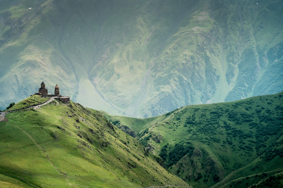
The overland arc from the South Caucasus into Central Asia crosses six separate mobile markets. One regional profile currently reaches Armenia, Azerbaijan, Georgia, Kazakhstan, Kyrgyzstan and Uzbekistan — here is how to plan the data side of the whole journey at home.

Almaty, Bishkek, Tashkent, Samarkand and Bukhara across three separate mobile markets, joined by long road and rail legs. How to size data for a Silk Road route and what to prepare before each leg.


