



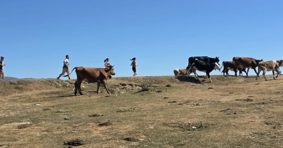
On Saturday 5 September 2026 I stood on a jeep track at Lisec, above Tetovo, with a race bib on and a phone in my vest. The 20 km race of the High Scardus Ultra weekend climbs through the Šar Mountains, the range the Romans called Scardus. My watch made it 18.5 km and 727 m of climbing, and I finished in 2 hours 47 minutes. The phone did something quieter: it kept a data connection the whole way on a Balkans eSIM, and that is what this post is about.
Where the race goes
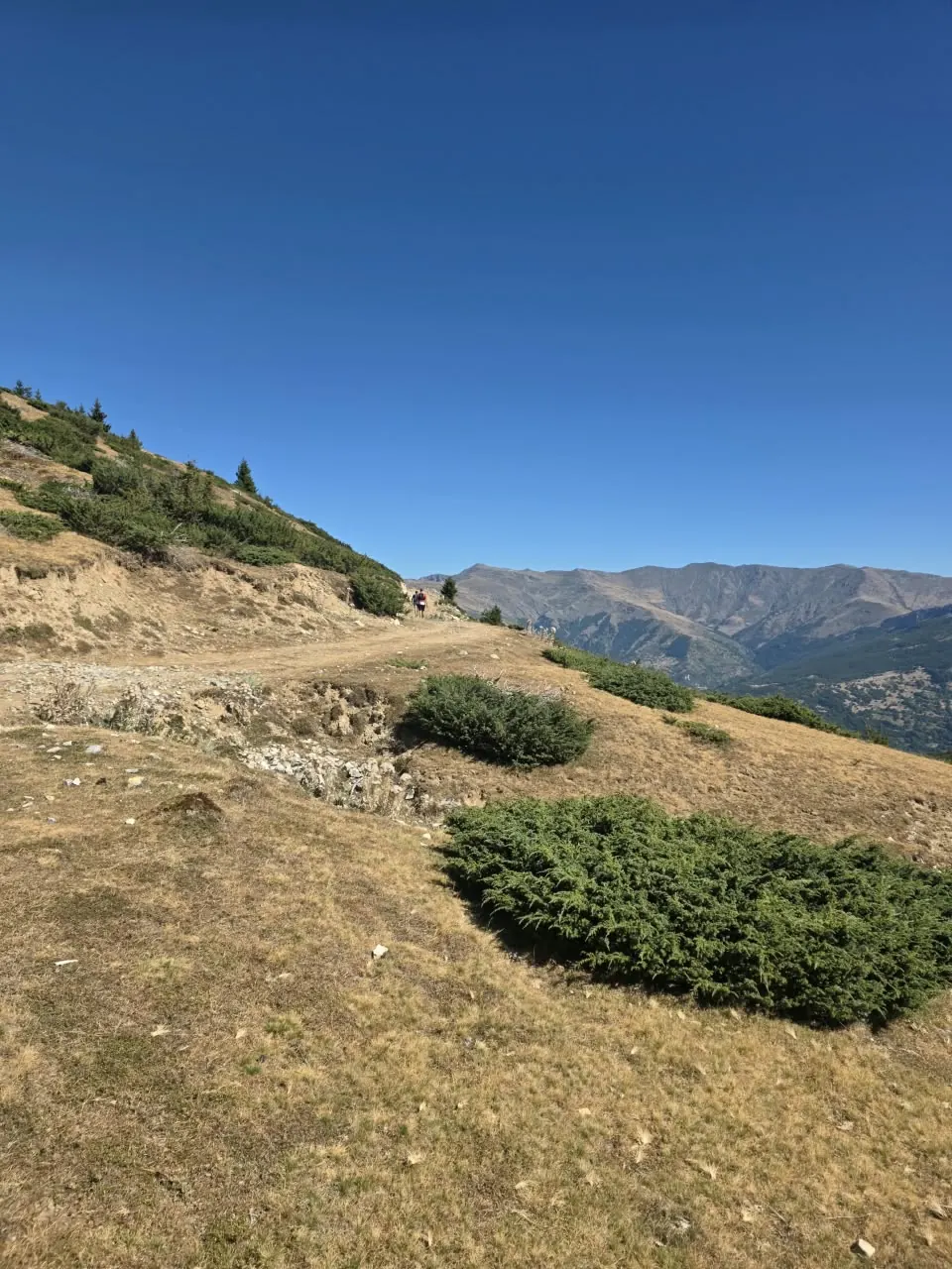
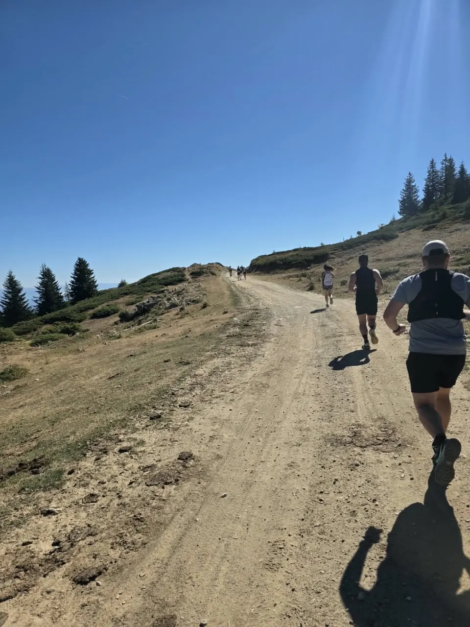
The start is a wide dirt road along the ridge, dry September grass on both sides and juniper bushes low to the ground. The far ridgeline stays in view for the first few kilometres, and the climbing starts almost at once.
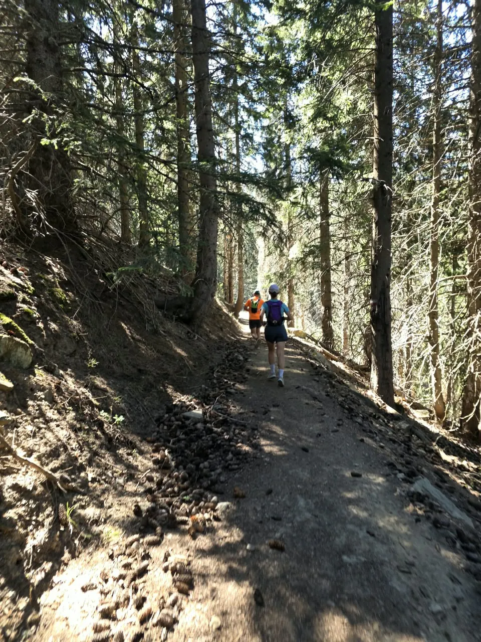
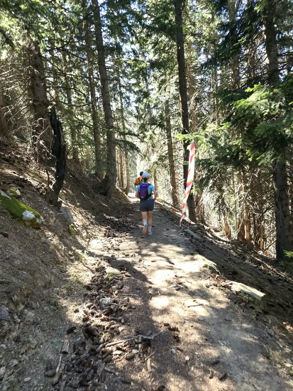
Then the course drops into spruce forest. The single track is soft with needles and cones, marked with red and white tape on the trees, and the light comes through in stripes. It is the part of the course where you forget you are racing.
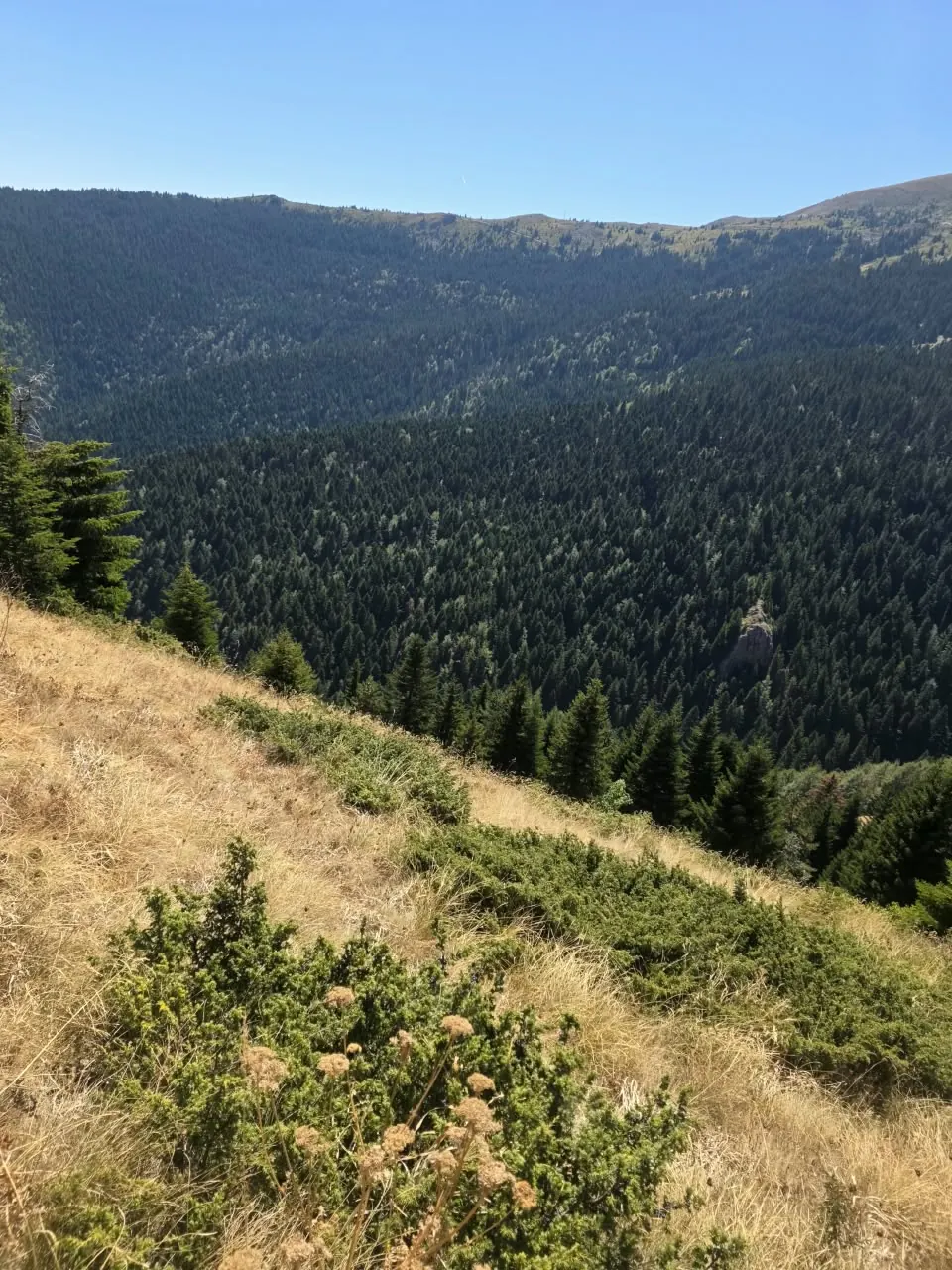
Above the trees the view opens over a forested bowl, a long way down to the valley, and the track climbs back to the ridge road.
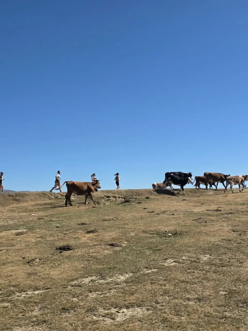
At one point the course belonged to a herd of cows. Nobody argued.
What the phone did
I carried the phone for the usual reasons: the organisers' updates, the family group chat, and a live location for the people waiting at the finish. On previous mountain races the phone came home with a full battery and nothing sent.
Not this time. The Balkans eSIM had data at the start line, along the ridge road, inside the forest and at the finish. Photos went to the group chat from the ridge. Live location kept updating. The one place I did not check was the bottom of the forest descent, because I was busy not falling.
One race on one day is one data point, not a coverage map. Mountain signal depends on where the local operator's masts are, which side of the ridge you are on and even the weather, and a different valley in the same range may have nothing. Treat my day as encouraging, then check the operator coverage map for your own route before you rely on it.
One plan for the range, with one exception
The Šar Mountains do not care about borders. The range runs along North Macedonia's frontier with Kosovo, and the long-distance High Scardus Trail that gives the race its name continues from Kosovo through Albania into North Macedonia. For a running weekend that is a real problem: three countries, three networks, and the temptation to buy three plans.
The Balkans eSIM covers two of the three. Its current list holds eleven destinations, including North Macedonia and Albania, so a race weekend in Tetovo followed by a recovery week in Ohrid or a drive to the Albanian side of Korab sits on one plan. It does not cover Kosovo. At home in Prishtina I use a separate Kosovo eSIM, and I switched lines at the border on the way to the start. Which eSIMs include Kosovo explains that gap in more detail.
For sizing, a race weekend is light: a few photos, messages and a live location for a morning use well under a gigabyte. A longer trip with maps every day is the case the Balkans sizing guide works through.
A trail runner's data checklist
- Install the eSIM at home on Wi-Fi, the day before, and check the line shows in the phone's settings. How to install an eSIM covers the steps once.
- Turn on data roaming for the travel line only. It sounds wrong, but that toggle is how a travel eSIM joins a local network.
- Download the offline map of the race area and load the course file before you leave the hotel. Data on the ridge is a bonus, not a plan.
- Set the travel line as the data line and leave your home line on for calls, if the phone allows two active lines.
- Share your live location before the start, while the phone still shows signal bars and the battery is full.
- Low-power mode from the start line. A phone hunting for signal in a valley drains faster than one that is running.
15% off for trail runners, with no end date
I run these races myself, and I want the people I share a start line with to travel on a plan that works for them. So every trail runner gets 15% off at Horizon through one link:
Open it on the phone you will buy with and the discount is applied to the prices you see, on every order, not only the first. It has no end date. Your browser remembers the code for thirty days; after that, open the link again. Bring it to the Balkans plan for the Šar, or to any other destination in the store. Discounts do not stack: if your account already qualifies for a larger one, you get the larger one.
Short answers
Did the eSIM work on the mountain? On 5 September 2026, on the 20 km course above Tetovo, my phone had data from start to finish. That is one day on one course. Check the coverage map for your route.
Does one Balkans eSIM cover North Macedonia and Albania? Yes, both are on its current list of eleven destinations. Kosovo is not, so a Kosovo stage needs its own plan.
How much data does a race weekend need? Very little. Photos, messages and a live location for a morning use well under a gigabyte; maps for a week of training runs need more.
How do I get the trail runner discount? Open horizonesim.com/?dl=TRAIL15 on the phone you buy with. The 15% applies to every order and has no end date.
